BE A VIEWER / CITY 05

A CITY IN MANY FREQUENCIES

SHENZHEN

深圳
22.5431° N / 114.0579° E NANSHAN · SHENZHEN BAY FIELD SIGNAL / 2026

A visual dispatch from a city that changes register by the hour: salt air, station rain, inherited thresholds, ridgelines and glass after dark.

FIND THE SIGNAL

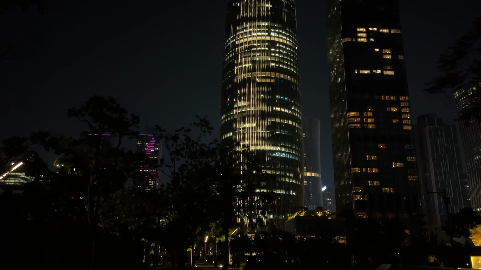
00 / NIGHT TRANSMISSION · SHENZHEN BAY / PEXELS

05SOUTH CHINA

FIELD NOTE / 城市频率

ONE CITY.
FIVE SIGNALS.

Shenzhen resists a single center. The day travels between districts, dialects and distances: a bay before breakfast, a border station in rain, an older doorway at noon, a mountain line at dusk, a new tower after dark.

01 / BAY05:12

THE CITY
BEGINS HORIZONTALLY.

Before the skyline becomes an emblem, it is a thin measure across water. Mangrove edge, running path and towers share the same early light.

Shenzhen skyline stretched across the bay beneath a warm sky
01A / BAYLINESHENZHEN BAY · GDMOONKILLER / PIXABAY
Shenzhen Bay skyline seen across rocks and coastal water
01B / EDGECOASTAL WATER · LYWIN / PEXELS
China Resources Headquarters rising beyond a waterfront lawn
01C / SPRING BAMBOOSHENZHEN BAY · XU LIANG / PEXELS

The bay is a public foreground. The towers arrive later in the frame.

02 / CROSSING08:47

ARRIVAL
IS PART OF THE FORM.

Luohu keeps the city’s older tempo close to the railway. Rain turns signage, glass and headlights into one moving surface.

Shenzhen Railway Station at Luohu reflected in wet pavement at night
02A / STATION RAINLUOHU · JIMBEAR / PEXELS
Dense older Shenzhen street facade layered with multilingual signs
02B / STREET TYPESHENZHEN · BLACKCURRANT GREAT / PEXELS
A scooter moving through a leafy Shenzhen neighborhood street
02C / LOCAL SPEEDNEIGHBORHOOD STREET · TBD TRAVELER / PEXELS
22.5315° NPORT / RAIL / RAINOLD GATE · NEW CITY

03 / STREET12:26

THE NEW CITY
HAS OLD THRESHOLDS.

Village lanes, Hakka memory and everyday speech keep another Shenzhen inside the metropolitan one. The texture is carried by doors, shade and conversation.

A person walking through a narrow older alley in Shenzhen
03A / THRESHOLDOLDER SHENZHEN · TSLUI / PEXELS
Red lanterns suspended above an older Shenzhen street
03B / LANTERN WEATHERSHENZHEN · LYWIN / PEXELS

04 / RIDGE18:41

THE MOUNTAIN
CHECKS THE SPEED.

From the ridge, growth becomes geography again. Port cranes, civic roofs and financial towers settle into the same southern haze.

Shenzhen skyline seen from a green mountain ridge
04A / LONG VIEWMOUNTAIN–SEA CORRIDOR · TIAN JIN / PEXELS
Shenzhen towers framed by trees on a hillside
04B / TREE FRAMEHILLSIDE VIEW · WHAT / PEXELS
Container cranes at a Shenzhen port beneath an orange sky
04C / PORTINDUSTRIAL HORIZON · KF ZHOU / PEXELS
Modern Shenzhen skyline holding the last orange light
04D / LAST LIGHTFUTIAN · ORANGE OCEAN / PEXELS

05 / LIGHT22:18

AFTER DARK,
THE SIGNAL DOUBLES.

Glass becomes a second city. It carries the wheel, the towers and their reflection, then sends the whole composition back across the bay.

Illuminated Shenzhen skyscrapers rising into a dark sky
05A / VERTICAL SIGNALFUTIAN · AINC T / PEXELS
Bay Glory Ferris wheel and Bao'an waterfront skyline at blue hour
05B / BAY GLORYBAO’AN WATERFRONT · AINC T / PEXELS
Low civic buildings and tall towers arranged across a Shenzhen plaza
05C / PUBLIC GROUNDSHENZHEN · BLACKCURRANT GREAT / PEXELS
TRANSMISSION COMPLETE / 22:18

The city keeps arriving. The viewer leaves with five frequencies still running.

RETURN TO ALL CITIES
ARCHIVE / 12 FRAMES1898—2026

SHENZHEN / GROWTH RECORD

A CITY
GROWS.

Swipe one frame at a time. The sequence follows the border, the first special-zone years, construction, finance, expansion and the present skyline.

01 / 12
1898 boundary map showing the Shenzhen River, Lo Wu and surrounding places
01 / BORDER1898

THE LINE BEFORE THE CITY.

The convention map fixes the Shenzhen River as a border and records place names that still structure the city today.

UNKNOWN AUTHOR / PUBLIC DOMAIN ↗
Luohu railway border crossing to Hong Kong in March 1978
02 / CROSSING1978

LUOHU, BEFORE THE LEAP.

Rail, customs and the Hong Kong crossing already give Shenzhen a metropolitan direction before the special economic zone begins.

LBM1948 / CC BY-SA 4.0 ↗
Landsat 3 false-color view of the Pearl River Delta on 19 October 1979
03 / LAND1979

MOSTLY GREEN.

Landsat records a delta with little urbanization. Shenzhen is still a small interruption in a much larger landscape of vegetation and water.

USGS / NASA LANDSAT · PUBLIC DOMAIN ↗
Street scene in Shenzhen in 1982
04 / STREET1982

THE SPECIAL ZONE AT STREET LEVEL.

Signs, traffic and low-rise blocks show a city already changing, while the skyline has barely started.

ROBERT SCHEDIWY / CC BY-SA 3.0 ↗
1986 general plan for the Shenzhen Special Economic Zone
05 / PLAN1986

GROWTH BECOMES A DIAGRAM.

The special-zone plan formalizes a linear, grouped urban structure. The city is no longer an experiment without a map.

CANGMINZHO / CC BY-SA 4.0 ↗
Landsat 5 view of the Pearl River Delta on 24 November 1988
06 / DELTA1988

THE FOOTPRINT SPREADS.

From orbit, new built surfaces are beginning to interrupt the agricultural and river landscape around Shenzhen and the wider delta.

USGS / NASA LANDSAT · PUBLIC DOMAIN ↗
People crowding to buy stocks in Shenzhen in 1991
07 / MARKET1991

THE CITY LEARNS PRICE.

The stock rush turns reform into a physical scene: queues, bodies and money compressed into one frame.

THISISIVOR / PUBLIC DOMAIN ↗
Street near Shenzhen Laojie in 1996
08 / OLD STREET1996

DENSITY ARRIVES BEFORE POLISH.

By the mid-1990s, the older commercial streets are packed with signs, traffic and the visual noise of a city moving faster than its surfaces can settle.

WANGHONGLIU / CC BY-SA 3.0 ↗
Qianhai in Nanshan, Shenzhen on 16 December 2000
09 / QIANHAI2000

BEFORE THE NEW CENTER.

Qianhai is still open, low and unfinished. Its later skyline is almost impossible to infer from this photograph.

WANGHONGLIU / CC BY-SA 3.0 ↗
Shenzhen Civic Center and Futian central district in August 2010
10 / FUTIAN2010

THE CENTER LOOKS FINISHED.

Civic architecture, plazas and towers give Shenzhen a metropolitan center that reads as deliberate rather than provisional.

WENGCHUKSYIUA / CC BY-SA 3.0 ↗
Landsat 8 view of the Pearl River Delta on 16 November 2014
11 / MEGALOPOLIS2014

THE CITY MERGES WITH THE DELTA.

The orbital view now shows a continuous urban field. Shenzhen has become one node inside a much larger Pearl River Delta metropolis.

USGS / NASA LANDSAT · PUBLIC DOMAIN ↗
Contemporary Shenzhen skyline at night
12 / PRESENT2026

THE EXPERIMENT BECOMES THE VIEW.

The final frame returns to the city at eye level: towers, light and infrastructure where earlier images showed border, vegetation and open ground.

GALOK FIELD FILM / PEXELS

SWIPE / DRAG / ← →

FIELD FILM / 15.8 SEC

ONE NIGHT.
NO VOICEOVER.

The opening film stays silent. The city supplies its own soundtrack: ventilation, traffic, glass and the low electric hum between towers.